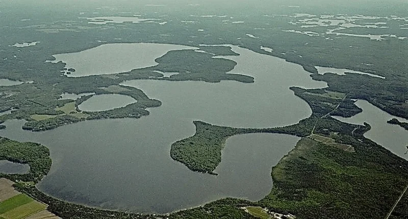
Video: Phosphorus Mixing in Musky Bay
How What Happens in Musky Bay Happens to All of Lac Courte Oreilles
This hydrodynamic model of Lac Courte Oreilles (LCO) was developed to show the amount of mixing between bays and basins in LCO and the rest of the lake. The hydrodynamic model is a simulation based on the Environmental Fluid Dynamics Code (EFDC), a U.S. EPA‐supported modeling framework. The hydrodynamic model clearly shows the water movement and mixing that occurs between Musky Bay and the rest of LCO and confirms that LCO is one integrated aquatic system. In other words, what happens in Musky Bay happens to the rest of the lake. Watching this animation video you can see a 50% mix of water from just this one bay—Musky Bay—to a large portion of the rest of the lake in as little as two months.
These modeling results have been confirmed by in‐field water quality sampling in LCO’s West Basin that show elevated levels of phosphorus as a result of phosphorus laden water in Musky Bay moving into and mixing with waters of the West Basin. This confirmation is important because it means that this is not a hypothetical model of what could happen. It is verified as accurately demonstrating what does happen in Musky Bay and how that mixes into the rest of LCO.
The movement and mixing of water as predicted by the model has also been confirmed by visual observation of the distribution of floating algal mats that form in the phosphorus‐rich water of Musky Bay and then flow out of Musky Bay along the LCO western shoreline (i.e. Ring Road).
Based on the results of the hydrodynamic modeling and the confirming in‐field sampling and visual observations, COLA, therefore, opposed the WDNR assertion that Musky Bay is a separate body of water from the rest of LCO.
See how the hydrodynamic model was developed in the 3.1.1 Hydrodynamic Modeling section on page 11 of the SSC proposal.


